

The AgriDataValue (ADV) project was presented at the 6ᵗʰ Congress of Geographical Information Systems and Spatial Analysis in Agriculture and Environment, held at the Agricultural University of Athens from 19–21 May 2026.
The congress brought together researchers, institutions, and technology providers working on Geographic Information Systems (GIS), spatial analysis, remote sensing, and precision agriculture applications. Within this context, AgriDataValue showcased its approach to integrating geospatial intelligence, IoT data, and advanced analytics into modern agricultural management.
The presentation highlighted how GIS technologies play a central role in the AgriDataValue ecosystem, supporting the collection, visualization, and analysis of agricultural and environmental data. Through the use of spatial data infrastructures, satellite imagery, sensor networks, and AI-driven analytics, the project aims to improve decision-making, resource efficiency, and environmental monitoring in agriculture.
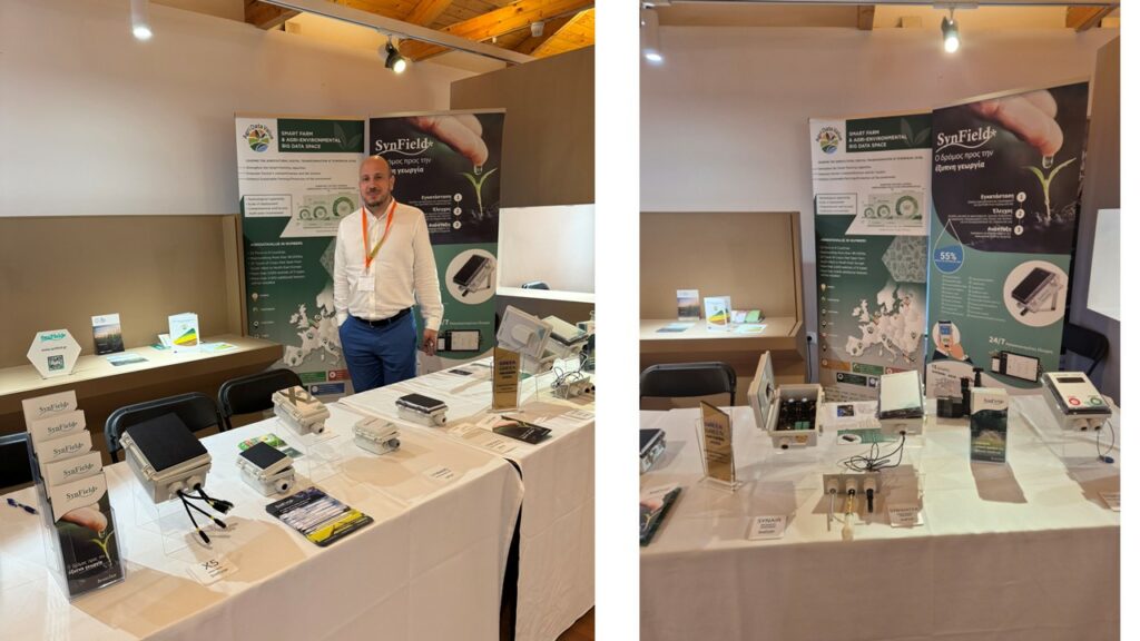
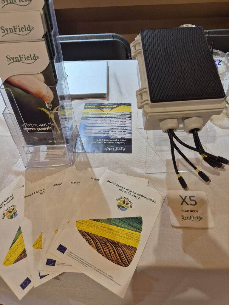
In parallel, Synelixis sponsored the event and participated in the congress exhibition area with a dedicated stand, where AgriDataValue brochures, roll-up banners, and SynField devices utilized within the project were presented to participants and the broader audience of the congress. The stand offered visitors the opportunity to learn more about the practical implementation of smart farming technologies and their contribution to data-driven agricultural management.
More information about the congress is available at:
6ᵗʰ GIS Congress Official Website