The AgriDataValue technological tools, mechanisms, and Lean Multi-Actor Approach (LMAA) will be fully tested and validated during the AgriDataValue project lifetime through several Use Cases (UC) in 23 pilots in 9 countries, representing more than 181,000ha with 25 types of crops that span from southwest to northeast Europe, outdoor and greenhouse crops, organic and non-organic production, and more than 2,000 animals of 5 types. In addition, more than 4,200 farmers will provide insights and more than 89,000 will be directly informed.
The pilots will also be used to collect sensor data and feedback from the involved end-users, monitor and adapt the pilots over the project lifetime. The activity will continue though out the project’s lifetime (and at least 3 years after). The captured datasets will be used for the ML training and evaluation the evolving impact in each use case. In this phase mature AgriDataValue tools and solutions will be delivered evaluating the impact and collect feedback.
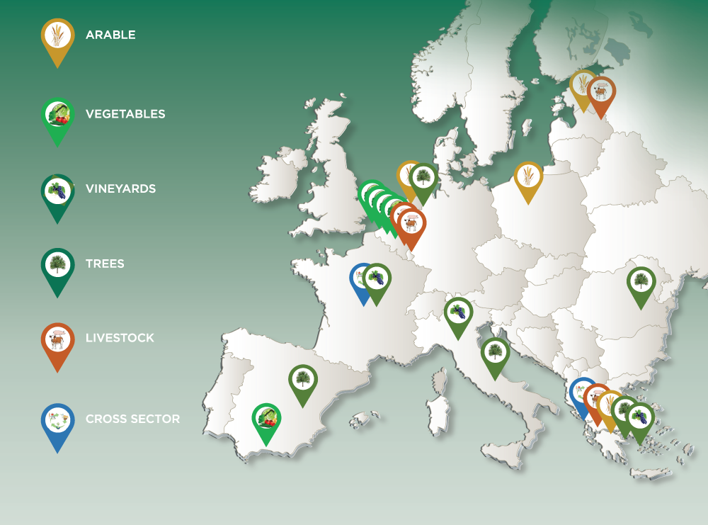
The Use Cases (UC) of the project have been finalized and grouped in clusters, addressing similar domains in different regions, crops, cultural, societal and farming contexts. Since the beginning of the AgriDataValue project, two new clusters have been added. The first one is ‘’Cluster number 6 – CAP Realization’’, and the second one is ‘’Cluster number 7 – Climate Monitoring’’. Below, a short description of each cluster is provided.
UC CLUSTER #1 – Arable Crops
Optimize the quality and quantity of crop production and increase environmental sustainability. Reduce the wasted irrigation water, fertilizers, pesticides, and energy. Involve different technologies and data platforms such as IoT sensors, edge cloud, drones/satellite visual/multispectral images and AI models.
UC CLUSTER #2 – Vegetables
Precision irrigation/ fertilization, harvest /diseases prediction for vegetables/arable crop increased production. Involve IoT sensors, edge cloud, radiation/clorofile/pH metering, multiple data platforms with geotagged photos alone with drones/satellite multispectral imagery.
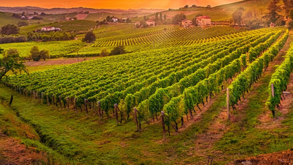
UC CLUSTER #3 – Trees & Vineyard
Protect the health and quality of fruit trees and vineyards crop. Increase quality and quantity, avoid diseases with less pesticides, foresee and mitigate frost. Involve IoT weather/soil sensors, edge cloud, diverse geotagged photos’ datasets, drones/satellite multispectral imagery.
UC CLUSTER #4 – Livestock
Use edge cloud and real-time IoT sensor data (e.g. neck collar, feeders, emission sensors) together with GPS location data to monitor the cattle/pig health, activity, feeding and calving, proactively control milk and meat quality, reduce the greenhouse gas emissions and nitrogen deposition.
UC CLUSTER #5 – Cross Sector
Validate cross domain use cases (fruit, vineyards, livestock, milk, oil, biogas, manure, energy) and address both supply and demand sides of the supply chain, including interoperability and traceability of platforms, electricity production and waste management.
UC CLUSTER #6 – CAP Realization
Focuses on CAP realization tools/applications and aims to assess and manage risk through modern ML with the aim of reducing the use of pesticides, fertilisers and antibiotics. Promote modern crop monitoring technologies. Benchmarking eco-scheme monitoring tools to support the new CAP towards fair income, land use and environmental protection.
UC CLUSTER #7 – Climate Monitoring
Climate monitoring plays a vital role in agriculture by providing valuable information about weather patterns, climate variability, and climate change impacts on crop growth, pests, diseases, and water availability. It involves collecting data from weather stations, satellites, remote sensing technologies, and climate models.
AgriDataValue presents a comprehensive and innovative approach to revolutionize the agricultural sector by leveraging advanced technologies and data-driven solutions. Throughout the project, significant advancements will be made in several key areas, including data integration and interoperability, DSSs, precision agriculture, remote sensing, IoT, and blockchain technology.
Overall, the AgriDataValue project signifies a transformative shift in the agricultural sector, where data-driven approaches, advanced technologies, and collaborative frameworks converge to address the challenges and unlock the opportunities in modern agriculture. By integrating diverse datasets, developing advanced decision support systems, promoting precision agriculture and remote sensing, and exploring blockchain technology, the project paves the way for a more sustainable, efficient, and resilient agricultural ecosystem. The outcomes of the project have the potential to drive innovation, optimize resource utilization, mitigate risks, and ultimately contribute to global food security and environmental stewardship.