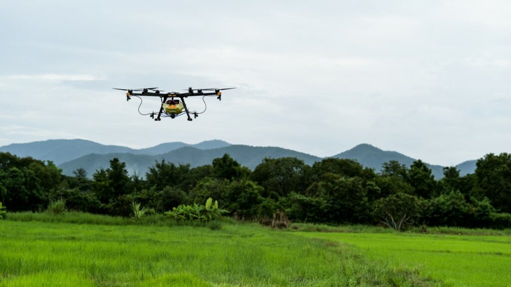
Drones and multispectral cameras are a powerful combination for enabling timely and informed decisions on crop management. Scalability is a key advantage in this context, since drones can be used to fly over large fields quickly and efficiently, collecting multispectral data from a variety of angles, corresponding to images of crops in multiple spectral bands. This data can then be processed to create detailed maps of crop health and variability.
The AgriDataValue project will work on the so-called “Drones Data Toolbox” that will enable the ingestion of aerial imaging captured by multispectral cameras on drones to the emerging agri-data spaces. The project will utilize drones equipped with both visual and multi-spectral cameras to collect in-situ observations of the crop that will complement the remote sensing, satellite-based earth observations. The images that will be captured by the drones will be appropriately geo-tagged and semantically enriched to be integrated in the AgriDataValue data ecosystem and be available to feed data processing pipelines using advanced AI techniques.
A key enabling application stemming from the processing of the in-situ aerial imaging and the satellite-based data is the calculation of vegetation indices (VIs) such as the Normalized Difference Red Edge (NDRE) and the Normalized Difference Vegetation Index (NDVI). VIs are mathematical transformations of multispectral imagery that are used to quantify the presence and condition of vegetation. The indicators can be easily interpreted by the farmers to detect subtle changes in crop health, such as nutrient deficiencies, water stress, and pest infestations. In the context of AgriDataValue project, we will test the efficacy of AI-enabled VIs prediction models, adhering to data space principles for trustworthy data sharing, to estimate various crop health parameters. In addition, we will test the applicability of these Vis prediction models in real-world scenarios and the acceptance from farmers, paving the way for the uptake of drones technologies and multispectral cameras in the agricultural sector.