The European farming community continues to grapple with a longstanding and formidable challenge: pest infestation. From sprawling maize fields in Spain to the apple orchards of Eastern Europe and the rice paddies of Italy, pests are responsible for substantial agricultural losses annually. According to the European Commission, pests and diseases can reduce crop yields by up to 40%, resulting in billions of euros in economic losses, increased dependency on chemical pesticides, and declining biodiversity. In this context, innovative, data-driven approaches to pest management are not just a necessity—they are a lifeline.
Addressing this pressing issue, the Multimedia and Vision Research Group at Queen Mary University of London has developed a pioneering pest classification model powered by Vision Transformers (ViTs)—a state-of-the-art deep learning architecture that is transforming the landscape of computer vision. This model marks a significant leap in the application of artificial intelligence to precision agriculture, offering farmers across Europe a tool to identify and respond to pest threats more efficiently and sustainably.
Vision Transformers, originally proposed by researchers at Google, differ from traditional convolutional neural networks (CNNs) by leveraging mechanisms known as self-attention. Rather than analyzing visual data in small local patches (as CNNs do), ViTs process the entire image as a sequence of patches, much like how natural language processing models handle text. This allows the model to capture global context at an early stage, resulting in improved performance on complex visual recognition tasks such as pest identification, where subtle inter-class variations can significantly affect outcomes.
The Queen Mary research team trained their model using an extensive dataset comprising over 80,000 images, painstakingly gathered from peer-reviewed literature, open-access agricultural databases, and scientific repositories. The resulting model is capable of detecting and classifying 80 distinct classes of pests that attack key European and global crops such as apple, cashew, cassava, cotton, maize, mango, rice, sugarcane, tomato, and wheat. These crops form the backbone of both smallholder and industrial farming systems, and improved pest detection has the potential to significantly mitigate economic losses.
In addition to these crop-specific pests, the model has been designed to identify broader signs of pest infestation and related agricultural diseases. This includes challenging categories such as weed infestations, brown spot, common rust, flag smut, fruit fly, gray leaf spot, leaf curl, smut, red cotton bug, tungro, and wilt. The inclusion of these classes enhances the model’s utility in real-world agricultural settings, where early signs of disease or infestation often overlap with multiple causes.
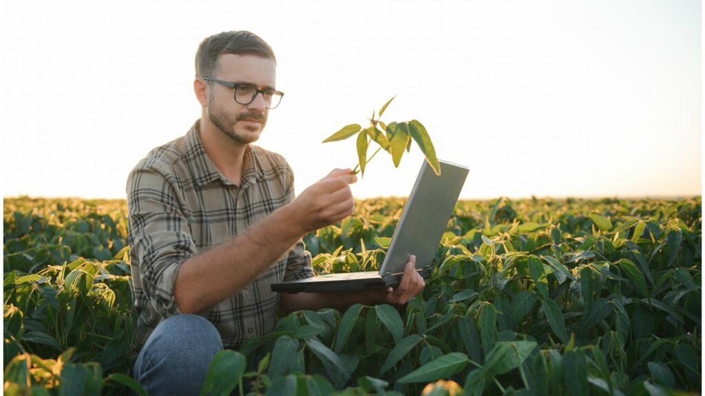
One of the most promising aspects of this research is its commitment to accessibility and real-world impact. The trained Vision Transformer model is being integrated into a mobile application specifically designed for use by farmers and agricultural workers. With a simple smartphone camera, users will be able to capture images of suspected pest infestations and receive on-the-spot identification and guidance. This mobile-first approach is particularly valuable in rural and semi-rural areas where access to expert agronomists may be limited.
The potential implications for the European farming community are substantial. With climate change contributing to shifts in pest migration and the emergence of new pathogens, traditional pest control methods are increasingly inadequate. This AI-powered solution empowers farmers to adopt more targeted and timely interventions, reducing the need for indiscriminate pesticide use and helping to protect the health of both crops and ecosystems.
Moreover, by reducing yield loss and input costs, such technologies could contribute to improved food security and economic resilience in European agriculture. For policy makers and stakeholders in the EU’s Common Agricultural Policy (CAP), tools like the pest classification model developed at Queen Mary University represent a critical step toward modern, sustainable farming that leverages digital innovation.
In sum, the Multimedia and Vision Research Group’s work is not just a technological achievement—it is a practical response to one of agriculture’s most urgent threats. By harnessing the power of Vision Transformers, they are delivering intelligent, scalable solutions that promise to reshape pest management in Europe and beyond. As the farming community moves toward a more data-driven future, such research stands at the forefront of digital transformation in agriculture.
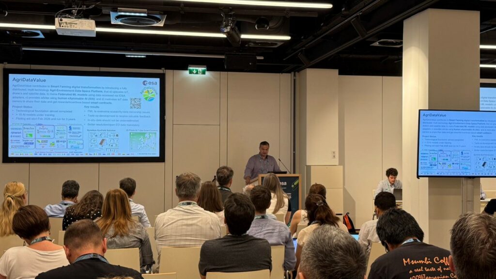
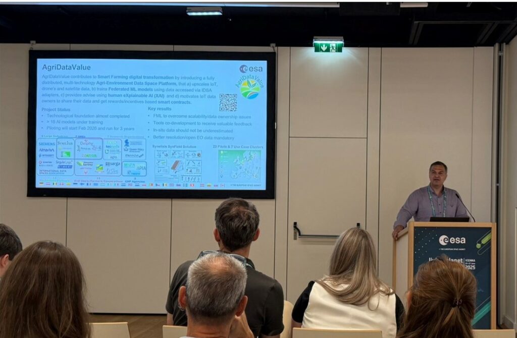
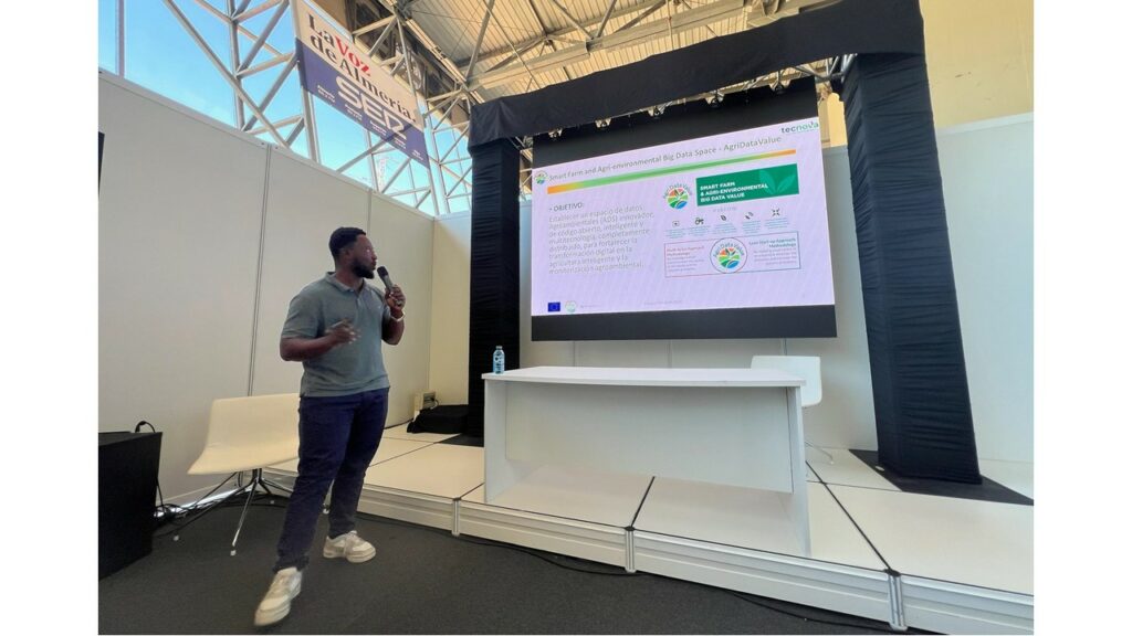
This research has been supported in part by the AgriDataValue project, funded by the European Union under the Horizon Europe programme (Grant Agreement No. 101086416). The Multimedia and Vision Research Group (MMV) at Queen Mary University of London, as a project partner, acknowledges the critical role of AgriDataValue in fostering data-driven innovation for sustainable agriculture. The development of the Vision Transformer-based pest classification model aligns with AgriDataValue’s broader goals of enabling smart, interoperable, and AI-enabled agricultural solutions across Europe.